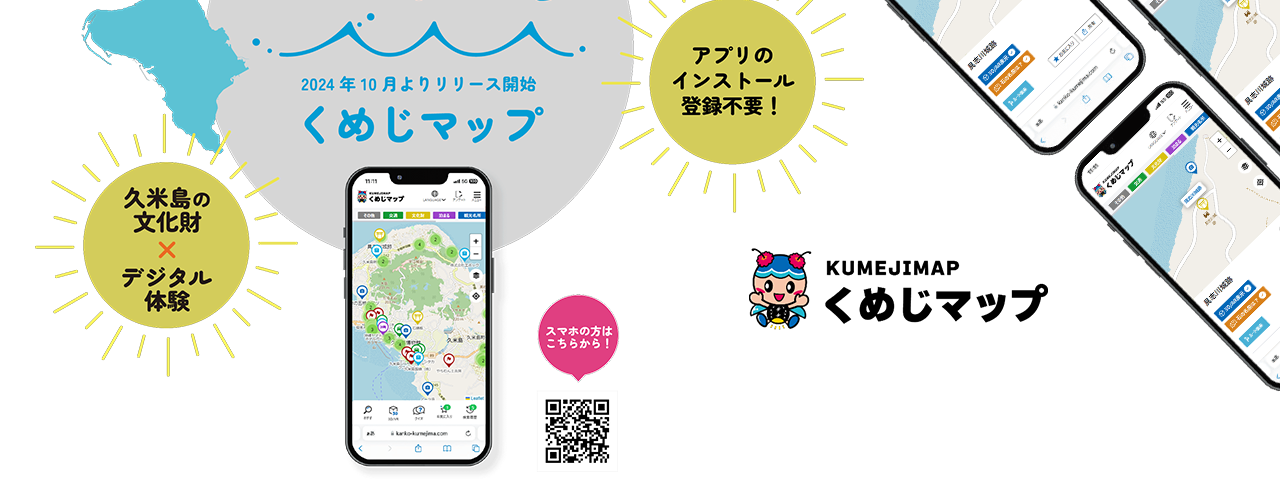
Our team developed the Kumejima Map, a professional digital mapping solution customized to Kumejima’s unique geography and needs. It is a highly detailed version of the familiar mapping service designed to help island residents and visitors navigate easily. It showcases everything from local businesses and landmarks to intricate roads and critical infrastructure, all accessible via a user-friendly interface. The project demonstrated our expertise in custom map development and location-based services, providing a powerful tool for community connectivity and accessibility.
